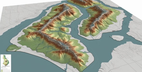
Our cartography and visualization services transform geospatial data into clear, compelling visual outputs.
Geofynd Advisory creates high-quality maps, 3D terrain models, and interactive web maps tailored to each client’s objectives.
These visuals are used for urban planning, environmental reports, infrastructure development, and public communication. We emphasize both accuracy and aesthetics, ensuring our maps are functional, easy to interpret, and suitable for print or digital platforms.